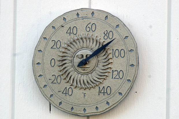
SIOUX FALLS, S.D. (KELO AM) - The Sioux Falls National Weather Service says Wednesday’s high of 89 may be the coolest reading for the next ten days.
Meteorologist Todd Heitkamp says the extended forecast doesn’t show a break in the heat until well into next week.
Heitkamp says the dew point, the measure of water in the atmosphere, is the real culprit. He says it makes it difficult for our bodies to acclimate to the heat and makes it difficult to sweat. The dew point makes the heat feel that much more oppressive.
Heitkamp says when people ask what it feels like outside, that's the heat index in play. He says it's where the dew point plays a role. He says when the dew point temperature climbs into the 60's and 70's, the air feels uncomfortably warm.
Heitkamp says this week could be the warmest last week of August on record