Sioux Falls, SD (KELO AM) - After a week of cool temperatures, more typical July weather is on the way.
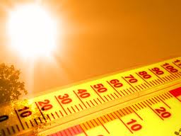
Temperatures will reach into the upper 80’s to around 90 in the immediate Sioux Falls area Sunday, and into the low to mid 90’s on Monday. Temperatures will be a little warmer west of Sioux Falls, and slightly cooler to the east.
Along with the temperatures, higher humidity will return, making the heat index values feel much warmer.
A heat advisory has been issued for the area, primarily for late Monday morning to 9:00 p.m. Monday evening. Heat index values could reach into the 100 to 105 degree range during that time.
A heat advisory means that a period of hot temperatures is expected. Take extra precautions if you work or spend time outside. When possible, reschedule strenuous activities to early morning or evening. Know the signs and symptoms of heat exhaustion and heat stroke. Wear light weight and loose fitting clothing when possible and drink plenty of water. Check up on relatives and neighbors and do not leave children or pets unattended in vehicles.
To reduce risk during outdoor work, the occupational safety and health administration recommends scheduling frequent rest breaks in shaded or air conditioned environments. Anyone overcome by heat should be moved to a cool and shaded location. Heat stroke is an emergency...call 9 1 1.
There is a slight chance for thunderstorms late Monday afternoon into Monday night, especially north of I-90. Some of those storms could be severe, with large hail and damaging winds possible. Another chance for thunderstorms will return later in the week, along with cooler temperatures.